Wallace Creek
Aerial imagery: USGS (NAIP), public domain
Community spots & sessions in CA · on LutherHeggs
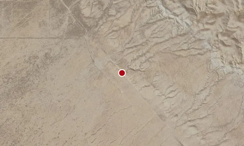
Here you are standing on the San Andreas Fault. At this location it runs northwest to southeast a the base of the hills. At one time Wallace Creek drained straight across the fault, but movement by the San Andreas Fault has offset its drainage course, with the downstream segment about 430 feet northwest of the upsteam segement. This is one of the best examples of stream offset across a fault in the world. An interpretive trail is available to learn more about this portion of the San Andreas Fault.
🔍 Tap the map to enlarge
Activities
Interpretive ProgramsHikingHorseback RidingWildlife ViewingPhotography
Spots
No community spots here yet — be the first in the app.
Recent posts
No public posts from this park yet.