Turtle Canyon WSA
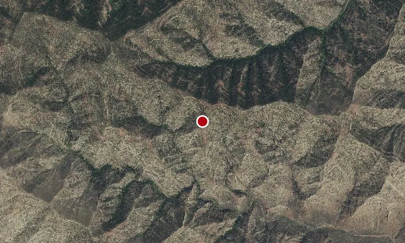
Aerial imagery: USGS (NAIP), public domain
Community spots & sessions in UT · on LutherHeggs
Flat areas in the southern portion of the WSA are limited to canyon floors, ledges, and narrow ridge tops. South of the cliffs, alternate layers of soft and resistant rocks form a landscape of benches and slopes cut by canyons 100 to 500 feet deep. Range Creek drains to the east of the WSA
🔍 Tap the map to enlarge
Spots
No community spots here yet — be the first in the app.
Recent posts
No public posts from this park yet.