Turkey Creek
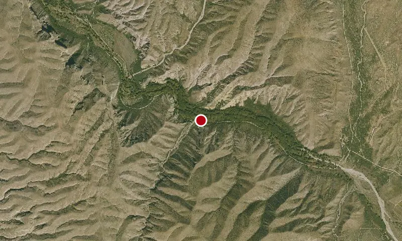
Aerial imagery: USGS (NAIP), public domain
Community spots & sessions in AZ · on LutherHeggs
A graded county road provides access to the east Aravaipa Canyon Wilderness boundary. Creek crossings and seasonal road conditions may necessitate high-clearance or four-wheel-drive vehicles. Winter and summer flooding make the road impassable to all vehicles. Call the Safford Field Office for road information.
🔍 Tap the map to enlarge
Activities
HikingDispersed Camping
Spots
No community spots here yet — be the first in the app.
Recent posts
No public posts from this park yet.