Table Top Trail
Community spots & sessions in AZ · on LutherHeggs
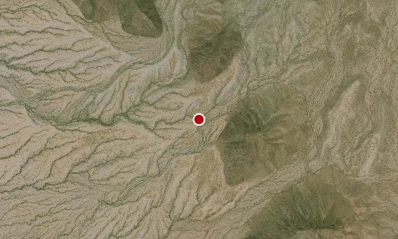
Table Top Trail, in the 34,400-acre Table Top Wilderness , takes visitors from the floor of Vekol Valley (elevation 2,299 feet) to the summit of Table Top Mountain (elevation 4,356 feet) in just 3.5 miles. Along the way, visitors are treated to a variety of Sonoran Desert plants and wildlife, scenic vistas, and evidence of the area's volcanic history. The view from the top of the summit is a dramatic panorama of rugged mountain ranges and desert plains. The trail begins by crossing several small washes and bajadas (desert outwash plains), and winds northeasterly toward Table Top Mountain through forests of saguaro, cholla, prickly pear, paloverde, and ironwood. At the base of the mountain, the trail begins a series of switchbacks on its steep ascent to the summit. Near the summit, the trail is bordered by four-foot- tall walls of loosely piled stones, the origin and purpose for which are unknown. Vegetation on the summit includes an unusual, 40-acre island of desert grassland. Equestrian use of Table Top Trail is not recommended due to the steep conditions. Table Top Trailhead includes a small, three-site campground with picnic tables, fire-rings, a vault toilet, and day use parking for approximately 10 vehicles. No water or trash collection is provided. Hours and Seasons You can visit Table Top Trail year round, however, the trail is recommended for use from late October through mid-April. At other times of the year, the trail is seldom used. Features and Services Drinking Water : There is no drinking water available. Bring plenty of water. Toilets: Accessible vault toilet onsite. Cell Phone and Internet : Cell phone service may be unreliable. There is no public internet or Wi-Fi. Pets : Pets are not allowed on Table Top Trail, but service dogs are legally permitted anywhere that visitors can go. Your Safety This is a remote area and access roads are not maintained. Cell phones do not work in many areas of the monument. Heat and Sun The monument's elevation ranges from 1,000 to 4,400 feet (304-1,215 m), so summer is rough on visitors. It's best to enjoy the monument from late October to mid-April. If you are visiting in summer, take extra precautions to drink plenty of water, as temperatures may exceed 110°F (43°C). We recommend sunscreen, sunglasses and a hat. Weather forecast Water Bring all the water you will need. There is no drinking water available on the monument. Plan on drinking one gallon (4 liters) per person per day—more if you're engaged in strenuous activities. Your vehicle Make sure your gasoline tank is full, carry additional water and full-size spare tires in your vehicle, and make sure your vehicle is in good working condition. Winter is the most popular time to visit. Wildlife The desert sun stirs up rattlesnakes and other reptiles as early as February. Flash floods Flash floods caused by sudden storms can be dangerous in washes, so it is best to have a survival plan to prevent emergency situations. Have good maps with you and know how to use them. Border Concerns The southern part of the monument is a corridor for drug and human smugglers. Be alert for illegal activities and law enforcement operations. Respect and Protect The area is home to many species of wildlife. Please remember to practice outdoor ethics and recreate responsibly. Help us protect this unique environment by leaving no trace during your visit. Check for fire restrictions before your visit. Using exploding targets, fireworks, sky lanterns, tracer ammunition and other incendiary devices is prohibited on BLM-managed public land in Arizona. Report resource crimes including vandalism, dumping and suspicious activity at 1-800-637-9152.