South Mule Canyon
Community spots & sessions · on LutherHeggs
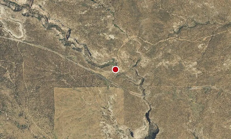
The North and South Forks of Mule Canyon are two fairly easy hiking areas on Cedar Mesa, north of U.S. Highway 95. The two canyons run roughly parallel to each other. They are similar in appearance, being relatively shallow at the trailhead near the road, and gradually deepening as they wind toward the west. Alternating band of red and white sandstone typify the canyon walls, which become increasingly sheer at the upper ends of the forks. Although there is no constructed, maintained trail, the route follows the creek bottom and a commonly used foot path. Boulders and evergreen trees crowd the canyon bottoms in the upper ends, while the lower stretches are wider and more open. The hike is in the canyon bottom and only gains a few hundred feet over the course of seven miles. A permit to hike or backpack is required.