Sids Mountain
Aerial imagery: USGS (NAIP), public domain
Community spots & sessions in UT · on LutherHeggs
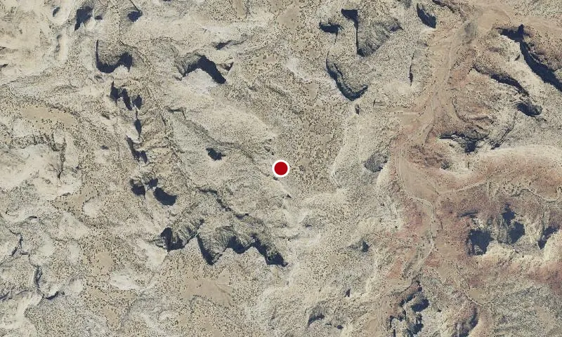
The WSA is characterized by an intricate canyon system which drains northward into the San Rafael River in the extreme northern portion of the area. The canyons typically have massive sandstone walls, winding routes, and numerous small tributary canyons. Above and between the canyons are flat to hilly grass parks. The western portion of the WSA is rough badlands terrain of colorful, eroded soils, cliffs, and small mesas.
🔍 Tap the map to enlarge
Spots
No community spots here yet — be the first in the app.
Recent posts
No public posts from this park yet.