Sand Butte Wilderness Study Area
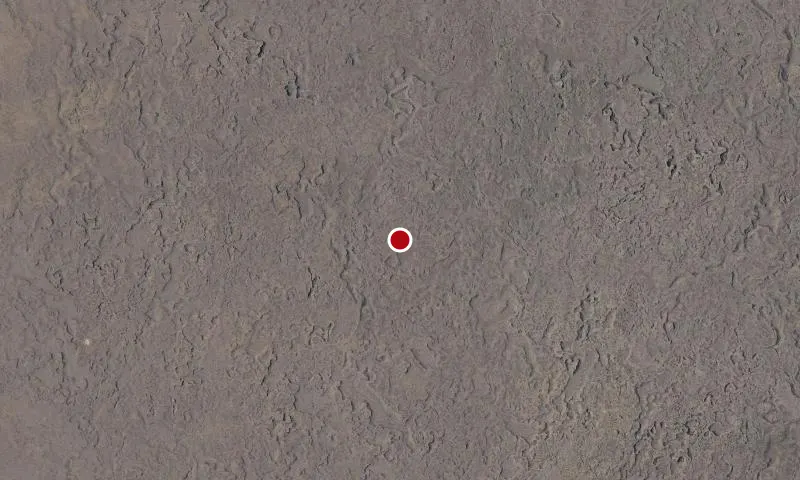
Aerial imagery: USGS (NAIP), public domain
Community spots & sessions in ID · on LutherHeggs
In Idaho, BLM manages nearly 21,000 acres of public lands in the Sand Butte Wilderness Study Area. Sand Butte WSA is composed of an older lava flow covered by wind-deposited soils. The crater was formed by a violent explosion caused by the rapid generation of steam when erupting magma contacted ground water. Elevations range from 4250 feet, along the WSAs southern boundary, to 4974 feet at the summit of Sand Butte. Vegetation generally consists of sagebrush interspersed with grasses and forbs.
🔍 Tap the map to enlarge
Activities
CampingHikingHorseback RidingHuntingWildlife ViewingPhotography
Spots
No community spots here yet — be the first in the app.
Recent posts
No public posts from this park yet.