Petticoat Peak Wilderness Study Area
Aerial imagery: USGS (NAIP), public domain
Community spots & sessions in ID · on LutherHeggs
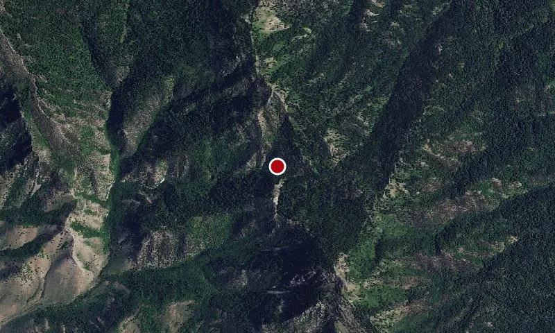
In Idaho, BLM manages over 11,000 acres of public lands in Petticoat Peak Wilderness Study Area. The topography around Petticoat Peak (8,000 feet) within the Fish Creek Mountain Range is steep and mountainous. Canyons and ridges radiate in all directions from the mountain peak. Dominant vegetation on the western slopes include juniper, mountain shrubs and sagebrush.
🔍 Tap the map to enlarge
Activities
CampingHikingHorseback RidingHuntingWildlife ViewingPhotography
Spots
No community spots here yet — be the first in the app.
Recent posts
No public posts from this park yet.