Payette River Corridor
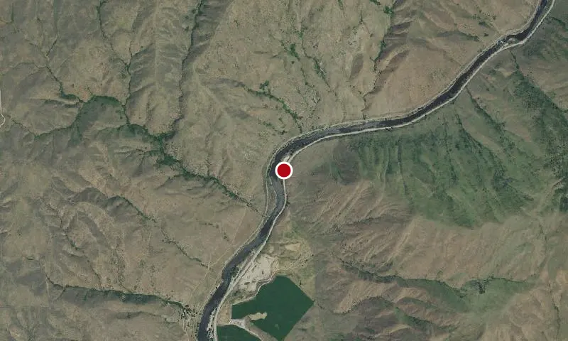
Aerial imagery: USGS (NAIP), public domain
Community spots & sessions in ID · on LutherHeggs
Flowing from the central Idaho mountains, the Payette River and its various forks offers a variety of river related recreational opportunities. The BLM and Forest Service jointly manage the Main Payette and South Fork Payette Rivers to provide public river access primarily for white-water boating. For the beginner, the Main Payette, from Banks to Beehive Bend, offers Class II-III rapids. The "Staircase" section of the South Fork (Confluence or Deer Creek to Banks) will provide a little more challenging Class II-III options, and the "Canyon" stretch (Deadwood to Danskin) will test your Class III-V rapids skills. Payette River Maps (Boater's Guide)
🔍 Tap the map to enlarge
Activities
BoatingFishingPaddlingSwimming
Spots
No community spots here yet — be the first in the app.
Recent posts
No public posts from this park yet.