Paria Hackberry WSA
Community spots & sessions in UT · on LutherHeggs
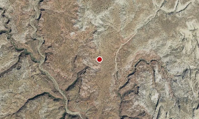
The varied terrain includes plateaus, benches, a portion of The Cockscomb ridge, scattered sand dunes, rock knobs and domes, and natural arches.All of the portion recommended for wilderness designation is of outstanding scenic quality. The Paria River marks the eastern edge of the Grand Staircase, the southern edge of the High Plateaus of the Utah Section of the Colorado Plateau Physiographic Province.The Grand Staircase was so named by early geologists because it is an ascending series of colored cliffs and terraces. At Bull Valley Gorge and Deer Creek Canyon, in the northwestern part of the WSA, the eastern end of the White Cliffs of the Grand Staircase is 600 to 1,000 feet high and is cut by eight canyons. East of the Paria River, the same sandstone as the White Cliffs is exposed but is more sculped and dissected. A portion of the terrace of the Vermillion Cliffs, the Grand Stair below the White Cliffs, is in the southwestern portion of the WSA. Below the cliffs are multi colored badlands.