Pacific Crest Trail
Community spots & sessions in OR · on LutherHeggs
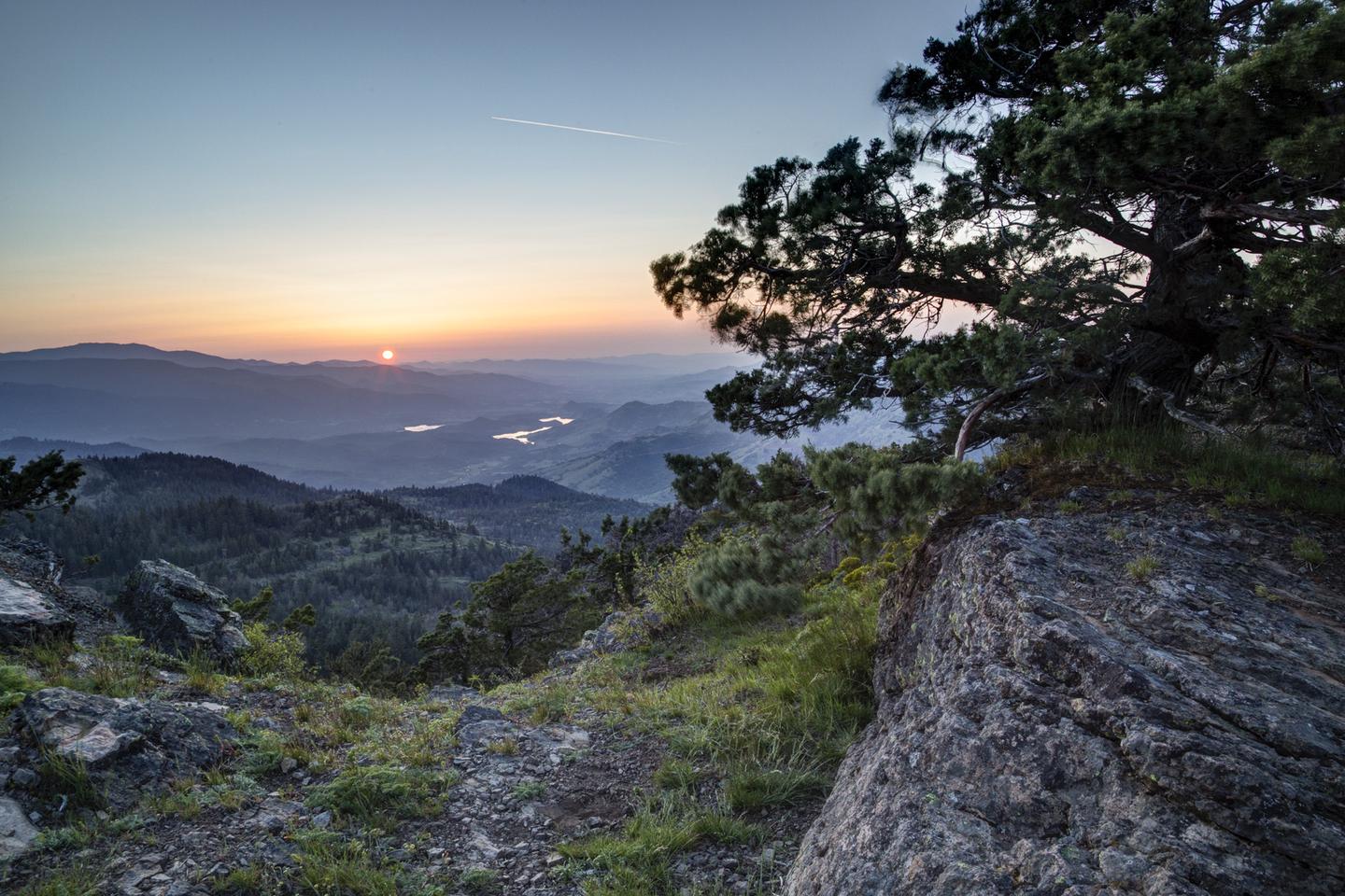
Take a hike on a legend! The 2,650-mile Pacific Crest National Scenic Trail, stretching from Mexico to Canada, passes through this 43-mile segment in the Cascade Mountains. Explore this area’s unique and diverse ecosystems as the trail meanders through wildflower-strewn meadows, old growth forests, and juniper-covered hillsides. Opportunities abound to take in scenic views of Mount Shasta, Pilot Rock, Cascade-Siskiyou National Monument , Hyatt Lake, Howard Prairie Lake, and Mount McLoughlin. The trail provides access to Pilot Rock, Hobart Bluff, Soda Mountain Wilderness , and Hyatt Lake Recreation Area . Terrain ranges from easy to moderately challenging, depending on the direction of travel. Know Before You Go Open year-round; snow may make the trail impassable for hikers. The Pacific Crest Trail is open to hiking and stock use only. Scattered parcels of private land are interspersed with BLM lands and at times the trail passes through private lands with permission of the land owners. Please stay on the trail when passing through private land. Point of Interest The Pacific Crest Trail is maintained with help from the Pacific Crest Trail Association and community volunteers.