Muddy Creek
Aerial imagery: USGS (NAIP), public domain
Community spots & sessions in UT · on LutherHeggs
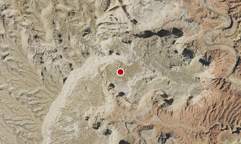
The WSA includes a portion of the San Rafael Reef. Muddy Creek, a tributary of the Dirty Devil River to the south, flows east across the northern portion of the WSA then south through the eastern portion, and has a deep canyon through the study area. The south-central portion of the WSA consists of steep mesas. The southern part of the study area is a mesa bisected by Muddy Creek Canyon, and is referred to as The Pasture west of the canyon and Keesle Country east of the canyon.
🔍 Tap the map to enlarge
Spots
No community spots here yet — be the first in the app.
Recent posts
No public posts from this park yet.