Maxwell National Wildlife Refuge
Community spots & sessions in NM · on LutherHeggs
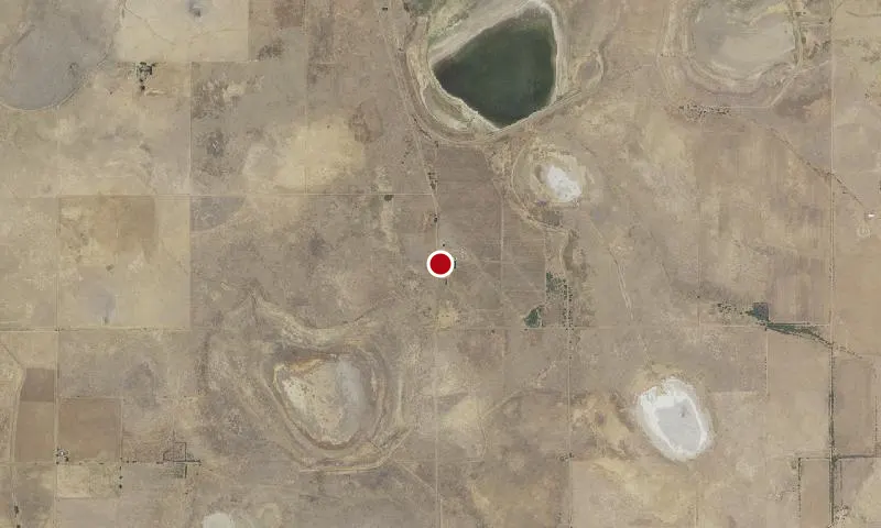
Located in northeastern New Mexico at an elevation of 6050’, Maxwell National Wildlife Refuge encompasses 3,699 acres of short-grass prairie, playa lakes, woodlots, wetlands, and crop fields. The refuge sits in an open basin surrounded by high mesas to the northeast and the Sangre de Cristo Mountains to the west. Since 1965 this landscape has been managed for the benefit of wildlife and has provided feeding and resting habitat for migratory birds. Approximately 2,800 acres of the lands that make up Maxwell National Wildlife Refuge are owned by the U.S. Fish and Wildlife Service and are made up of 23 tracts of land purchased from willing landowners under the authority of the Migratory Bird Conservation Act. An additional 907 acres are leased from the Vermejo Conservancy District in the form of the playa lakes on the refuge (Lakes 12,13 and 14). Prior to European colonization and the National Wildlife Refuge, the lands making up the refuge and surrounding Colfax County were a source of food and an area of trade for several Native American nations, including the Comanche, Apache, Kiowa, and Ute. Evidence of European settlement still exists on the refuge and around the surrounding area. Remnants of the Santa Fe Trail are within two miles of the refuge boundary. Beginning in 1821, the 900-mile trail served as the main trading route for western settlers between Missouri and Santa Fe for more than 60 years.