Mackay Island National Wildlife Refuge
Community spots & sessions in NC · on LutherHeggs
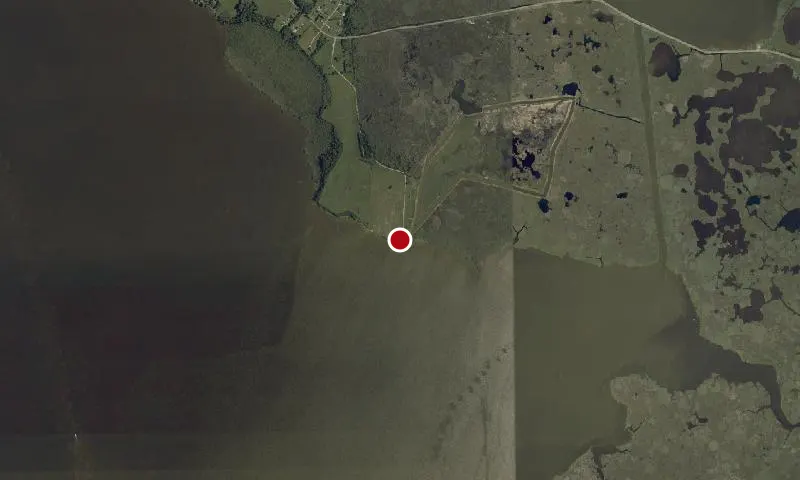
Congress established the Mackay Island National Wildlife Refuge on December 30, 1960, by the authority of the Migratory Bird Conservation Act of 1929. The Service established the original acquisition boundary of 7,835 acres in 1961 and expanded the boundary to 9,503 acres in 1991. The Secretary of the Interior issued a proclamation on August 21, 1963, prohibiting waterfowl hunting on 4,621 acres of the refuge and 1,098 acres of water south and west of the refuge. The U.S. Fish and Wildlife Service administers the refuge, located on Knotts Island along the North Landing River. The refuge staff administers 8,219 acres of fee title land at Mackay Island NWR in Currituck County, North Carolina, and Virginia Beach, Virginia, and 4,383 acres of the fee title land and 3,931 acres of conservation easement land at the Currituck NWR on the Outer Banks of Currituck County, North Carolina. The marshes on the western edge of Currituck NWR are located 6 miles east of the Mackay Island Refuge headquarters across the Currituck Sound. The western marshes are ½-mile east of the boat ramp on Knotts Island Bay; the upland portion of the refuge is 2 miles east of the boat ramp. It is 100 miles and almost a 3-hour drive to the Currituck NWR around the Sound by roads.