Guadalupe Back Country Byway
Community spots & sessions in NM · on LutherHeggs
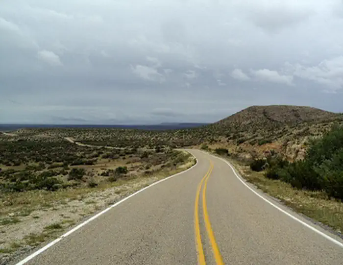
For 30 miles, the Guadalupe Back Country Byway travels the transition from cholla cactus in the Chihuahuan Desert west of Carlsbad up into the pines of the dramatic Guadalupe Escarpment. Travelers can see mule deer, pronghorn antelope, gray fox, scaled quail, mourning dove, a variety of songbirds, and small mammals. The Byway is located along the Capitan Reef of the Permian Basin and passes through an area of producing oil and gas wells. The plains give way to steep limestone outcrops cut by dry arroyos. Beneath the surface are numerous caves, including Carlsbad Caverns and Lechugilla Cave within nearby Carlsbad Caverns National Park. The Byway has interpretation stops along the way explaining different aspects of multiple-use public land management. The interpretive stops include explanations of activities taking place on this "working landscape," which include oil and gas development, livestock grazing, recreation uses, as well as other land use opportunities and natural resource protection measures. The Guadalupe Back Country Byway also provides a gateway for rural tourism and access to many little-known attractions. Numerous intersecting improved roads and unimproved OHV-two track trails provide access to public lands with excellent opportunities for hiking/backpacking, primitive camping, caving, horseback riding, nature study, mountain biking, hunting, and other outdoor experiences.