Fremont Gorge
Aerial imagery: USGS (NAIP), public domain
Community spots & sessions in UT · on LutherHeggs
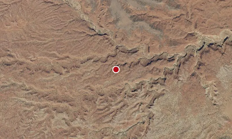
The WSA is on a broad plateau that slopes gently north-northeast, and is intricately dissected by deep, narrow, meandering canyons that drain eastward into the Fremont River. Narrow, relatively flat-topped ridges separate the canyons. Vegetation is predominantly pinyon-juniper with associated grasses. Ecological and botanical features are related to high quality riparian habitat along Sulfur Creek.
🔍 Tap the map to enlarge
Spots
No community spots here yet — be the first in the app.
Recent posts
No public posts from this park yet.