Fish Creek Canyon
Community spots & sessions in UT · on LutherHeggs
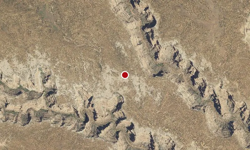
The four main canyons of this WSA are up to 700 feet deep. The canyons meander somewhat and contain numerous rock fins, alcoves, pinnacles, step-like pour offs on the canyon floors, and impressive natural arches. The canyons widen and become more shallow at the southern end of the WSA. Approximately 60 percent (28,000 acres) of the WSA is rated as outstanding for scenic quality. Fish Creek WSA includes land extensively occupied by Ancestral Puebloan dwellers from about200 A.D. to 1300 A.D. The Hole in the Rock Trail, the route followed by the Mormon settlers in 1879 to 1880, forms most of this unit's southern boundary. The pioneers camped at Snow Flat Spring Cave and built The Twist, a narrow twisting road through the rocks from the mesa down to the Comb Wash area.