Dry Valley Off-Highway Vehicle Area
Community spots & sessions in CA · on LutherHeggs
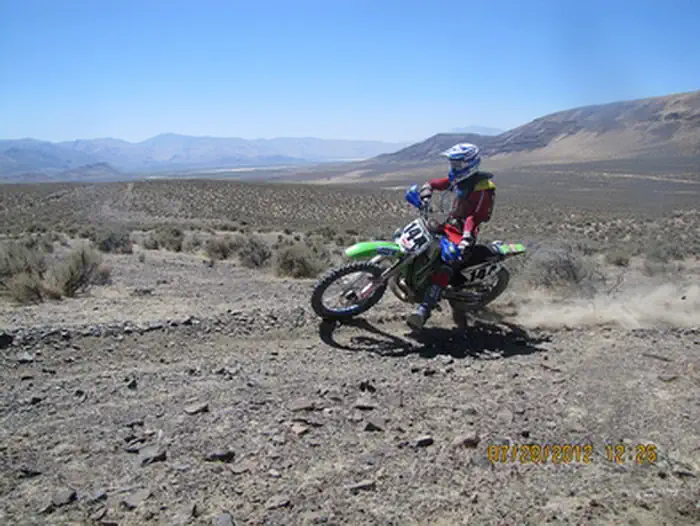
The Dry Valley Off-Highway Vehicle Area is located in Washoe County, Nevada. The area is located east of Wendel, California and west of Reno, Nevada off of Sand Pass Road and High Rock Road. The roads and trails traverse a wide variety of terrain including flat, sandy, high desert sagebrush country to steep lava rock canyons. Most trails are difficult motorcycle trails. Vehicle use is limited to designated routes. The designated roads and trails are signed as motorcycle, all-terrain vehicles (ATV), and 4WD use depending on width and terrain. There are two developed trailheads; the Turn of the Road Trailhead is a small graveled parking area with visitor information, picnic tables, bbq's and loading Ramps. The Mission Wells trailhead has a maintained graveled entrance road and support facilities including a restroom, picnic tables, fire rings, bbq's and visitor information. In addition to OHV use, Dry Valley is utilized by hikers, horseback riders, hunters and wildlife photographers. Visitors enjoy the beautiful vistas and canyons and good opportunities for viewing wildlife, wild horses and burros. See more photos of the Dry Valley OHV area. Operation and maintenance of the OHV area is provided by the BLM Eagle Lake Field Office and a partnership with the Great Basing Institute (GBI) through funds provided, in part, by the State of Nevada Recreation Trails Program (RTP). For more riding and camping opportunities check out the Rice Canyon and Dry Valley Off-Highway Vehicle Areas managed by the BLM Eagle Lake and the Chappie-Shasta OHV Area managed by the BLM Redding Field Office. Fort Sage OHV Area Rice Canyon OHV Area Chappie-Shasta OHV Area