Cooke's Range Wilderness Study Area
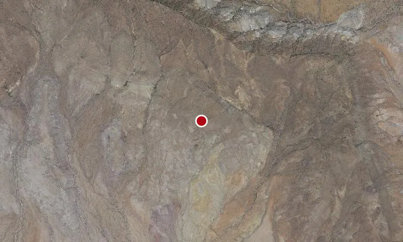
Aerial imagery: USGS (NAIP), public domain
Community spots & sessions in NM · on LutherHeggs
The Cooke's Range WSA is located in southern New Mexico about 60 miles from Las Cruces. The central feature in the WSA is Cooke's Peak, which rises over 3,600 feet above the surrounding plains. The northern portion is extremely rugged while the southern portion is rolling and includes open hills cut by deep canyons. Vegetation consists of piсon and juniper woodlands as well as mixed desert shrubs. The cliffs in the higher elevations provide nesting sites for birds of prey. Mogollon style petroglyphs are found at Frying Pan Spring.
🔍 Tap the map to enlarge
Activities
HikingWildlife ViewingPhotographyStargazingDispersed Camping
Spots
No community spots here yet — be the first in the app.
Recent posts
No public posts from this park yet.