Chappie/Shasta Off-Highway Vehicle Recreation Area
Community spots & sessions · on LutherHeggs
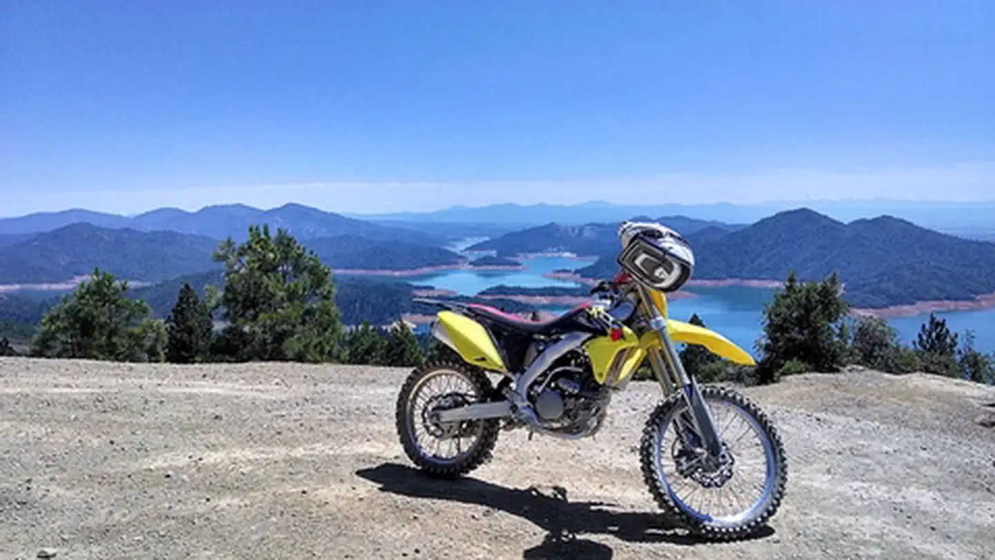
Remember your OUTDOOR ETHICS when enjoying your public lands. Please RECREATE RESPONSIBLY. Overview Visitors to the rolling, brushy hills near Shasta Lake in northern California will find off-highway vehicle (OHV) riding challenges for all abilities. More than 250 miles of roads and trails are open to motorcyclists, all-terrain vehicle drivers and four-wheelers. The area is near massive Shasta Dam and Shasta Lake, and there are overlooks of the Sacramento River below the dam. Wildlife species in the area include osprey, bald eagle, mule deer, and bear. This area was named after former U. S. Congressman, Eugene Chappie. The area is partially by the California State Parks OHV program. Chappie/Shasta OHV Recreation Area is open year-round. Need a Map? Chappie-Shasta Off-Highway Vehicle Area Northern Region Chappie-Shasta Off-Highway Vehicle Area Southern Region Helpful Links To review current and past grants visit the: CA State Parks Website For information about ATV safety visit the: ATV Safety Institute For safety information or Recreational Vehicle training visit: Recreational Off-highway Vehicle Association Nearby Attractions For more OHV opportunities, visit these other BLM Managed Off-Highway Vehicle Areas located in Northern California and Nevada: Fort Sage OHV Area Dry Valley OHV Area Rice Canyon OHV Area South Cow Mountain OHV Management Area