Burning Hills
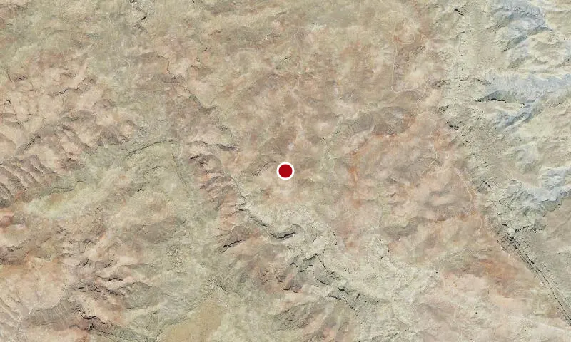
Aerial imagery: USGS (NAIP), public domain
Community spots & sessions in UT · on LutherHeggs
The Burning Hills portion of the WSA illustrates the geological changes over the ages that have resulted from naturally occurring coal fires. Approximately 13,000 acres of the Burning Hills are within the WSA.The Burning Hills portion of the WSA is also a scenic area. Red colorations in the landscape are a result of geological changes attributed to coal burning underground.Scenic values are also present in the lower Last Chance Creek Canyon area below the tip of Smoky Mountain. The escarpment at the tip of Smoky Mountain exhibits the same colorations as the Burning Hills.
🔍 Tap the map to enlarge
Spots
No community spots here yet — be the first in the app.
Recent posts
No public posts from this park yet.